Core Features
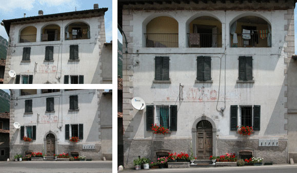
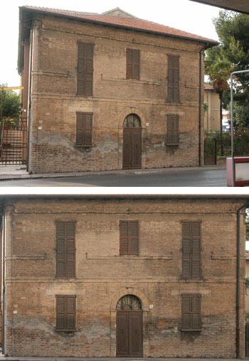
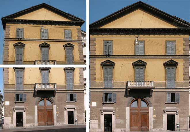
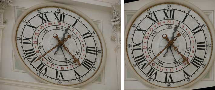
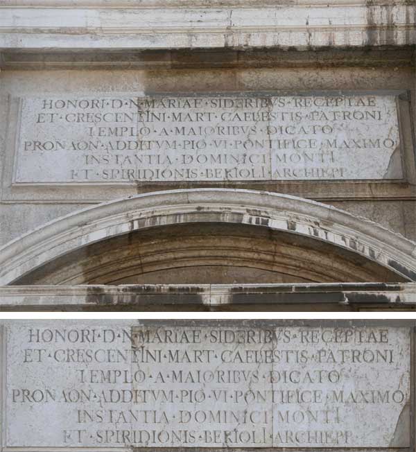
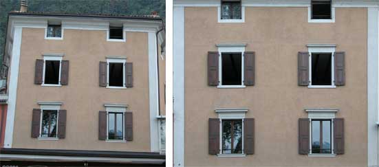
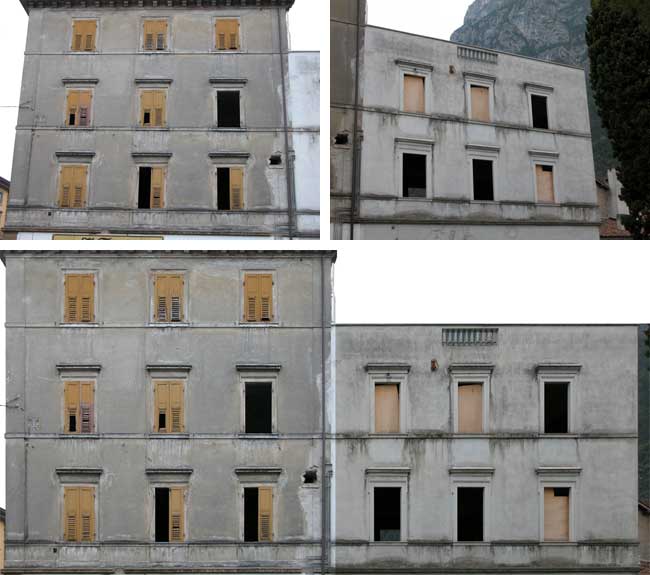
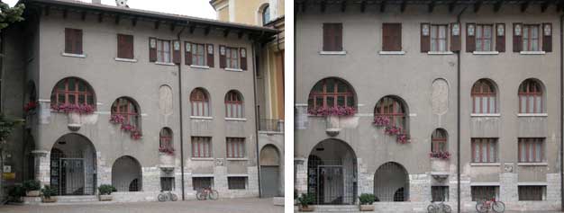
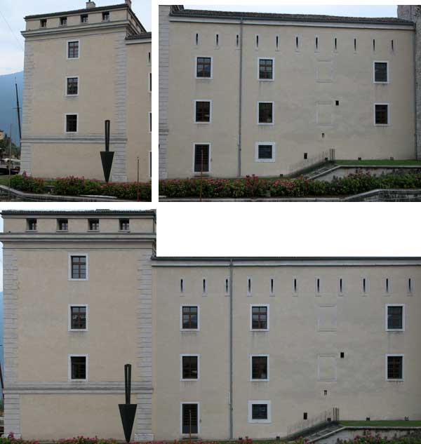
- Geometric rectification (two or more horizontal axes, two or more vertical axes, none or more measures).
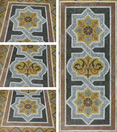
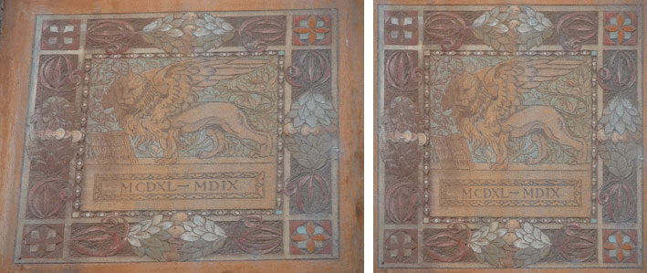
- Two-dimensional or three-dimensional points rectification (four or more points) with automatic plane evaluation.
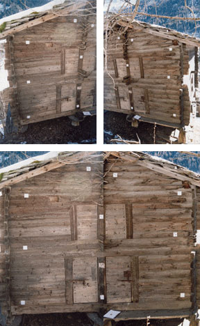
- Mosaic between two or more images.
Import/Export
- Import of images of the most common formats: Jpeg (.jpg), Bitmap (.bmp), Tiff (.tif), Portable Bitmap (.pbm), Kodak PhotoCD (.pcd), Paintbrush (.pcx), Portable Network Graphics (.png), Portable Pixmap (.ppm), Jpeg2000 (.jp2).
- Import of images in the Adobe PDF format (.pdf).
- Import of images directly from scanner.
- Import and export of images from the "Notes" with the commands "Copy" and "Paste".
- Export of rectified images into the most common formats: Portable Network Graphics (.png), Jpeg (.jpg), Bitmap (.bmp), Tiff (.tif), Jpeg2000 (.jp2).
|
- Export of rectified images in DXF format compatible with AutoCAD (both LT version and complete). In the case of points rectification, it is possible to export points used for the rectification into the same file.
- Import and export of World File (.tfw or .jgw) and of GeoTiff file (.tif).
- Import of three-dimensional points surveyed with the topographical instrument, thanks to a completely configurable text format.
- Export of points in a completely configurable text format or in DXF format, with the option to export the points to draw the planimetry.
Tools
- In scale printing of the rectified images.
- Evaluation of the residual values.
- Points editor.
- Selection onto the original image of the rectification area.
- Alignment checks and measures of distance, perimeter and area onto both the rectified image and the original.
- Handling of an unlimited number of images.
|
- Rotation of images to work with vertical photos.
- Tools to help the selection of specific details onto the image (black and white view, zoom onto details till 16x, zoom of the complete image till 300%, manual and automatic pan).
- Integrated viewer of the EXIF parameters available into images of digital cameras.
- Help on line of easy consultation.
- Easy and intuitive interface.
Moreover...
- Available in English, French and Italian languages.
- Compatible with whichever digital or traditional camera.
- Able to operate with whichever type of photo: historical archives, papers, postcards, etc..
- Into the same project it is possible to work with images took from different cameras.
Requirements
- Compatible with Windows® 95, 98, NT4.0, Me, 2000, XP, Vista, 7, 8, 8.1, 10, 11.
|
 Italiano
 Français


